NSU Newsroom
SharkBytes
Horizons
This version of NSU News has been archived as of February 28, 2019. To search through archived articles, visit nova.edu/search. To access the new version of NSU News, visit news.nova.edu.
This version of SharkBytes has been archived as of February 28, 2019. To search through archived articles, visit nova.edu/search. To access the new version of SharkBytes, visit sharkbytes.nova.edu.
Madagascar Field Course Uses Halmos Coral Point Count Software
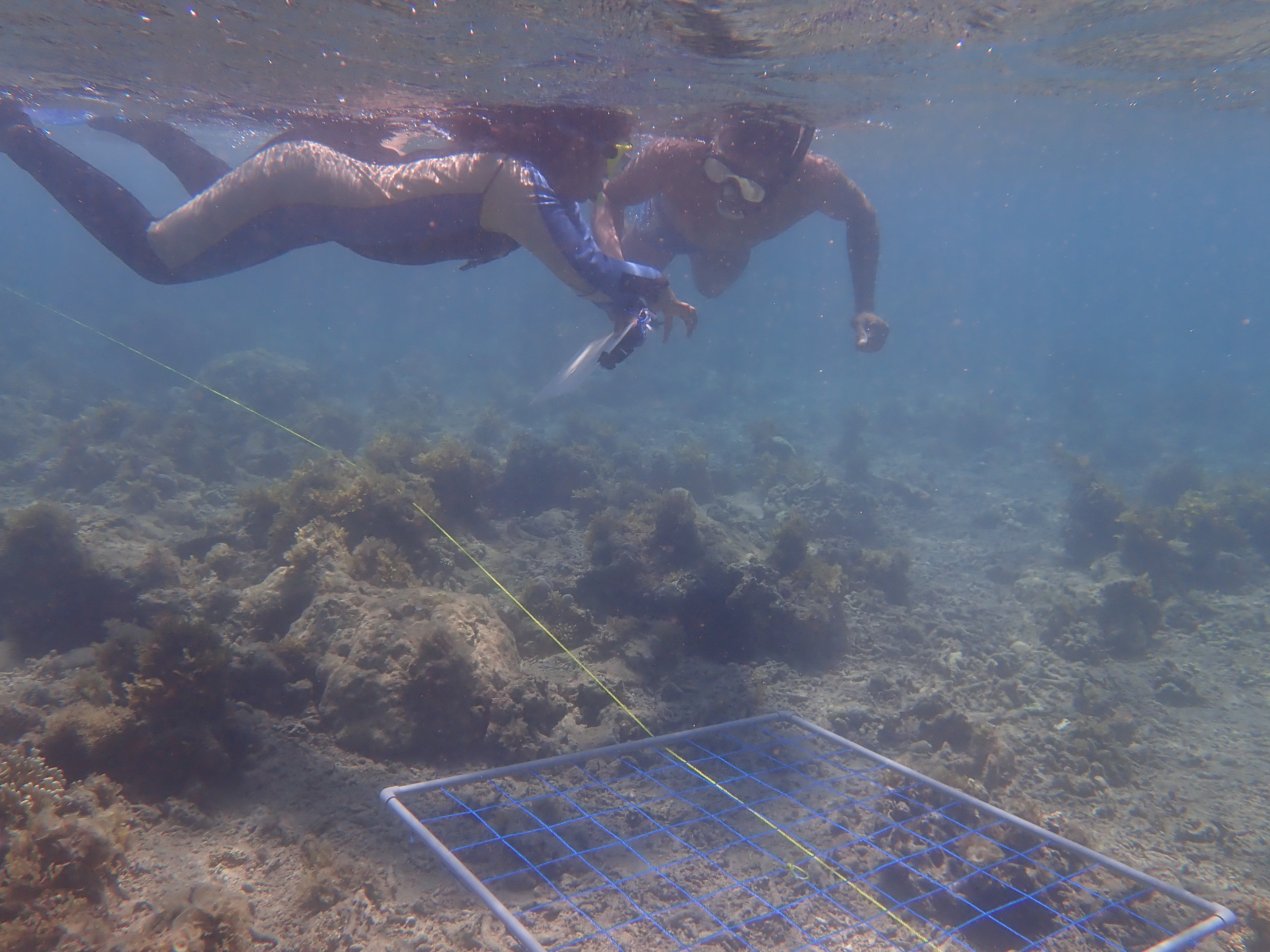
The Wildlife Conservation Society (WCS) Madagascar and the Institut Halieutique et des Sciences Marines recently held a field course in ecological survey methods in Toliara, South West Madagascar. Ten students from Madagascar participated in the course which included aspects of coral and fish identification as well as an exercise in surveying two reefs to compare their current ecological state and how they might differ in their resilience. As well as using classical survey techniques such as quadrats and transects students learnt to take photo quadrats and to analyze these in Coral Point Count with
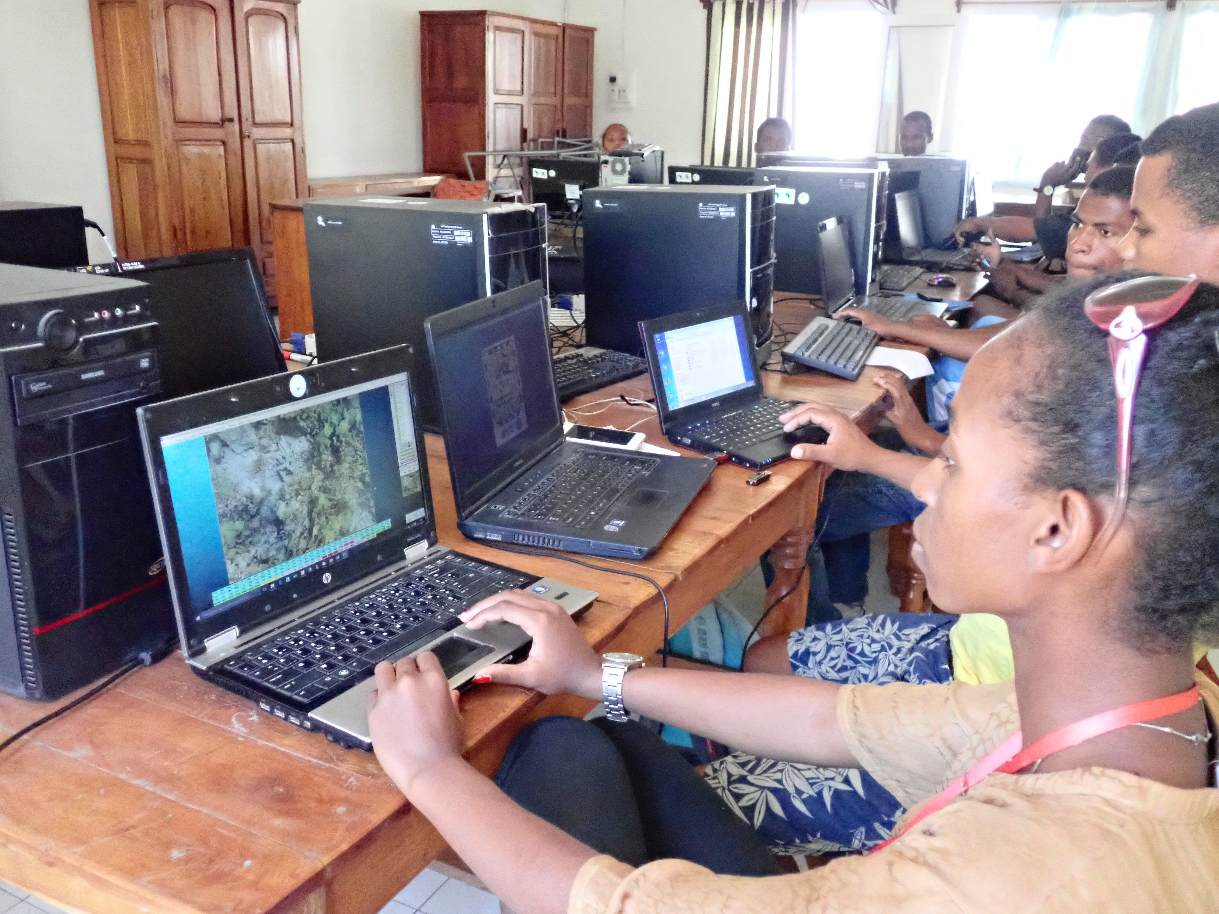
Excel extensions (CPCe). NSU alumna Vola Ramahery (MS ’06) currently works at the WCS Antananarivo as the Scientific Monitoring Officer for the Marine Program. She is involved in research works and surveys which results contribute in the adaptive management of MPAs and seascapes where WCS intervenes.
CPCe is released as copyrighted freeware. Its aim is to provide a useful tool for researchers, coral reef managers, and individuals involved in coral reef monitoring, assessment, and restoration. The CPCe program is a Windows-based software (PC use only) that provides a tool for the determination of coral cover using transect photographs. A specified number of spatially random points are distributed on a transect image and the features underlying the points are user-identified. Coverage statistics are then calculated and the results sent to Excel spreadsheets automatically. Additionally, CPCe can be used for image calibration and area analysis of benthic features. Excel sheets are automatically generated to summarize the area calculations for each image.